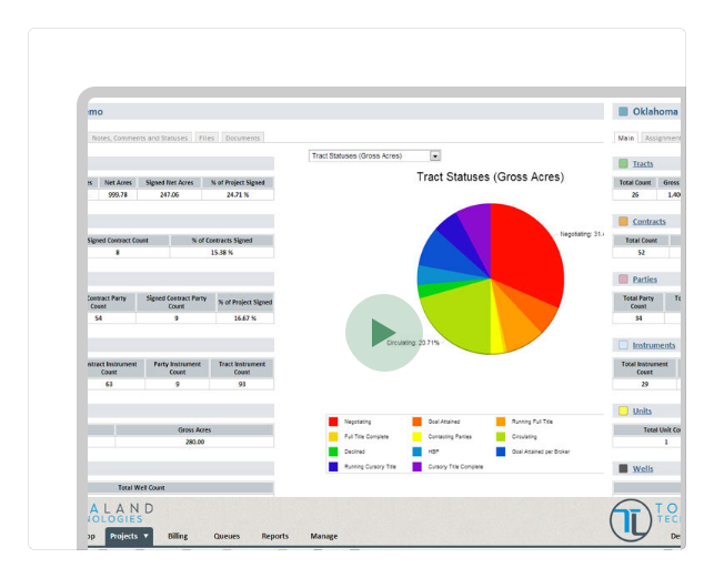
With TotaLand, you can log on from any internet connection and have all of your work at your fingertips – no more tracking down people to get updates. We’ve simplified and streamlined the mundane tasks associated with field land work, so you can spend more time on what matters.

If you’re accustomed to working with existing Tract-Based and/or Lease-Based databases, get ready to be blown away. Our system eliminates the negative aspects of both tract-Based and Lease-Based systems by using a unique, patent-pending table structure that eliminates the need for repeated data. This allows you to quickly find and access only the information you really need.
 Watch Video
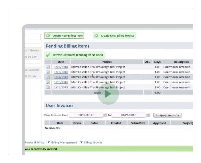
Broker and Client Billing is a tedious reality of our business, leading to slow processing, unnecessary overhead, and even missed Billing opportunities. With TotaLand, Brokers can do their Billing in a snap. They can quickly complete daily Billing items, attach scans of receipts if necessary, and submit their Invoices online. Broker Billing data can optionally be processed into client invoices as well. You’ll be amazed at how much time TotaLand saves.
Watch Video
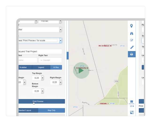
One of the most powerful features of TotaLand is the ability to provide an online version of project Maps. TotaLand links Maps to your project's data, and a map's symbology can then be controlled by that data. For example, colors and hatches of Tracts are updated automatically based on the status of the Tract or objects attached. And our unique table structure allows you to access information.
Watch Video
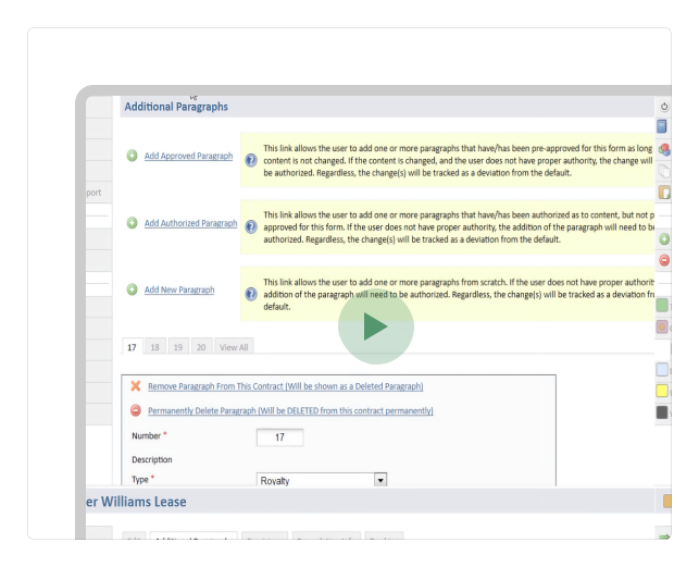
In TotaLand, a contract includes OGMLs, seismic permits, pipeline rights-of-way, and similar Documents. Each Contract stores key data like effective and expiration dates, form types, and pricing details. Contracts are linked to Tracts, Parties, Instruments, Units, And Wells. Once data is entered, you can quickly generate PDFs for printing and sharing, along with instant reports.
Watch Video
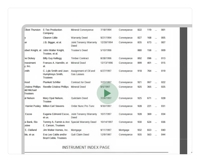
Our Abstract Assembler compiles instrument records within a project into secure PDF files for printing, binding, or direct submission to a title attorney for examination. Each completed Abstract includes a branded cover sheet, caption page, table of contents, auto-numbered index, and additional images such as disclaimers and tax certificates for a complete, professional document.
Watch Video

We don’t measure our support by how many user questions we answer. Instead, we focus on how few times our users feel the need to ask a question – and that focus has paid off. We begin with an intuitive interface that only we can offer. We go on to provide our users with numerous avenues for both self-training and quick reference.
For example, our users can avail themselves of our video tutorials, interactive user guide, page-related and topic-related help resources.
But don't get the wrong idea. It's not that we mind helping our clients. We provide our clients with toll-free phone support and a support ticket system, and our support personnel are second to none and are very responsive when you have a need to be addressed—just ask any of our existing clients...

Create accurate, data-specific plat Maps instantly with direct GIS integration.
Avoid unpredictable fees with a simple, cost-effective pricing model.
Your data is protected with strong security, backups, and high uptime.
We ensure complete confidentiality and never disclose client information.
Trusted by Land Professionals Nationwide






Streamline your land management projects with TotaLand today.
Start Free Trial